

Vous allez aimer...
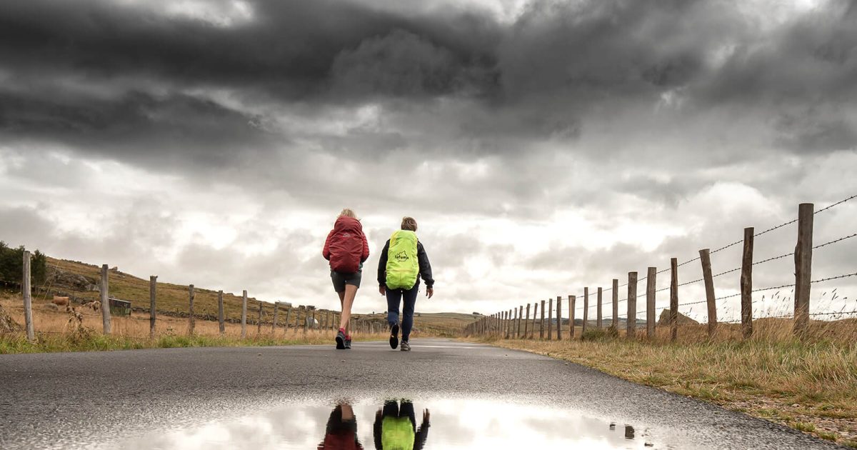
être déconnecté
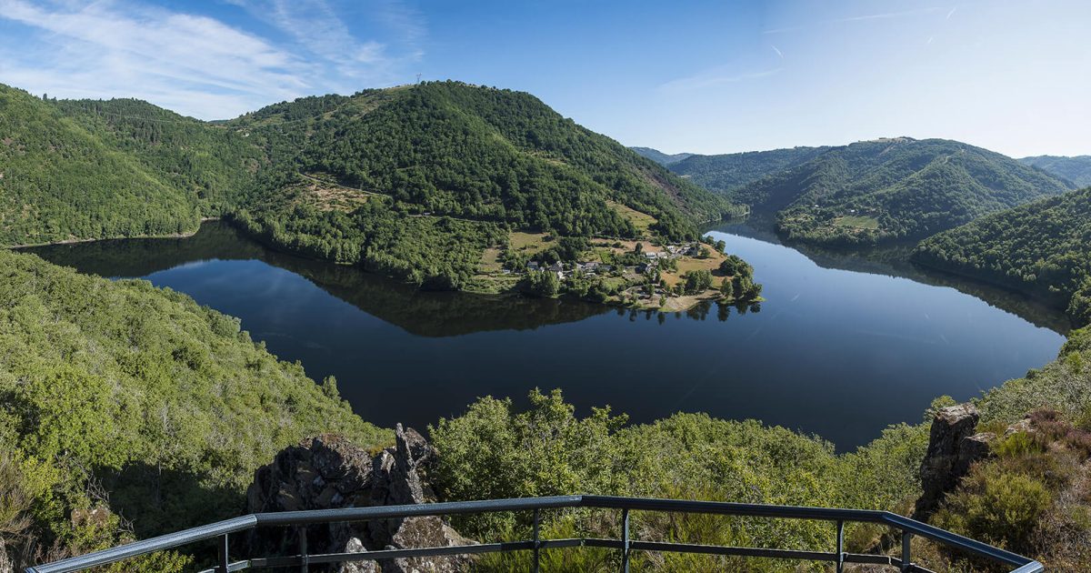
Vous allez aimer...
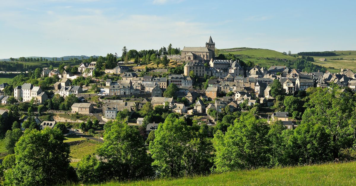
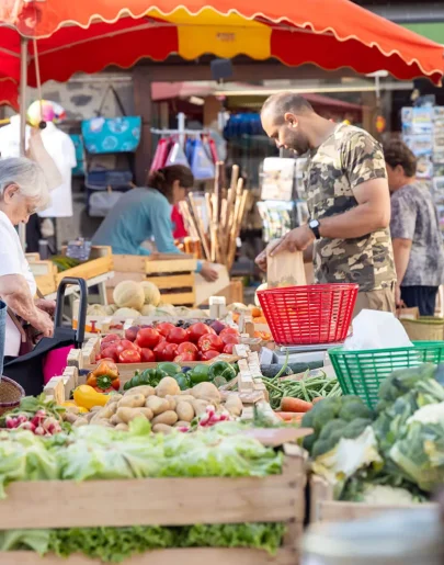
Réveiller vos papilles
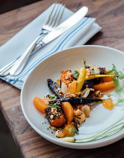
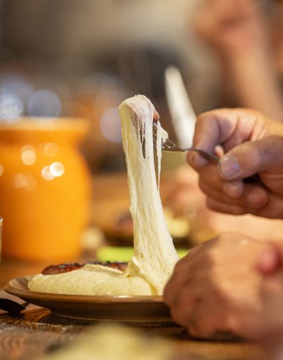
Et si vous découvriez l'Aubrac par sa gastronomie ? C'est la meilleure façon de s'ancrer au territoire, de partager des moments de convivialité avec les locaux et de découvrir les produits qui font la richesse de notre territoire.
Vous allez aimer...
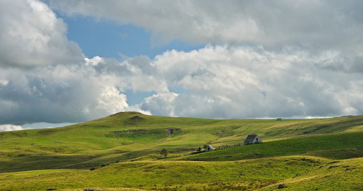
Bouger dans tous les sens
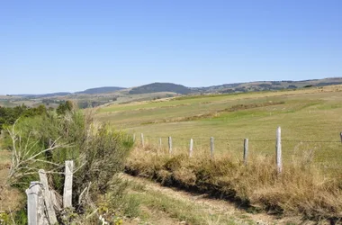
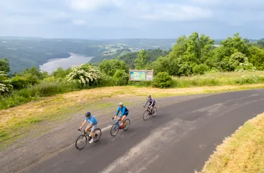
Au fil des saisons, pratiquez des activités qui vous ressemblent dans une nature préservée. De la balade à pied aux randos VTT, des circuits vélo pour arpenter les routes du territoire, des activités aquatiques aux pistes de ski, l'Aubrac vous offre une multitude de possibilités.

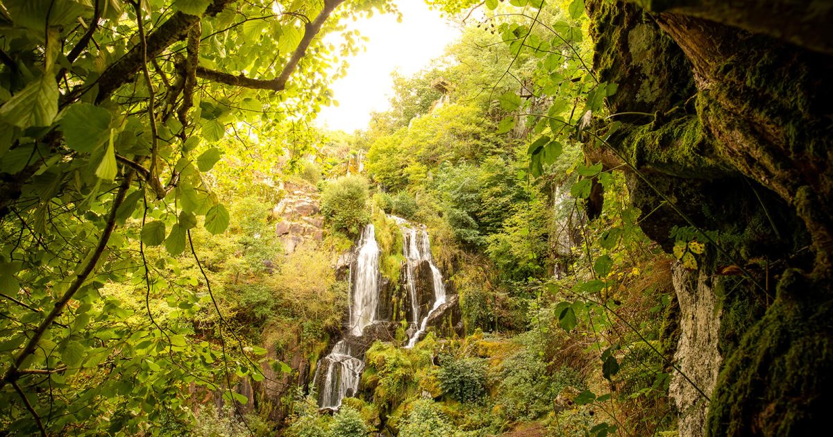
Vous allez aimer...
nos SAVOIR-FAIRES uniques
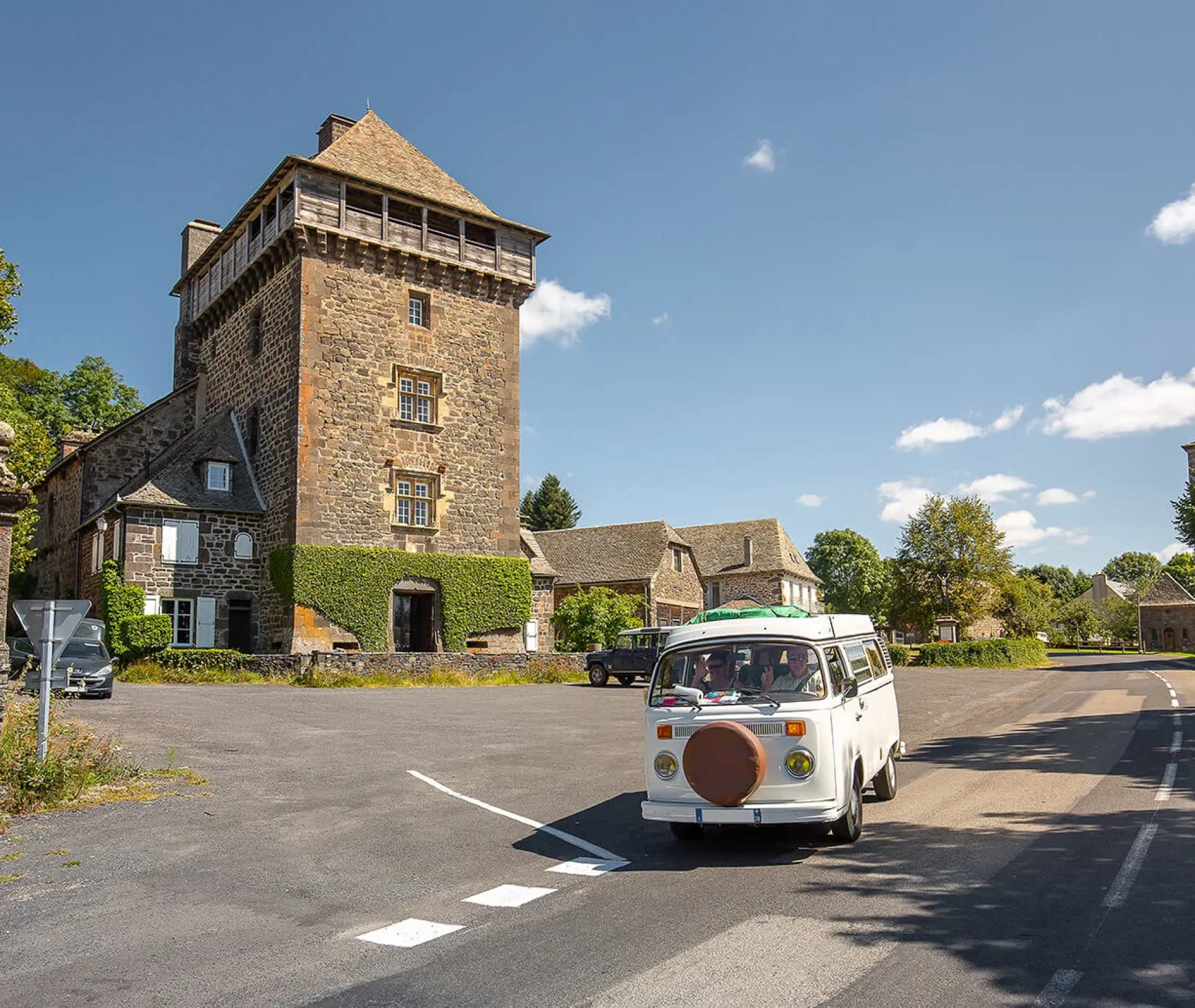
Passer un séjour en Aubrac, c’est vivre une expérience à la fois simple et intense, découvrir un territoire qui saura vous apporter des émotions vraies et vivre de belles rencontres avec des passionnés.

Vous allez aimer...
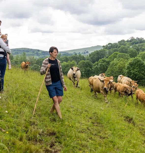
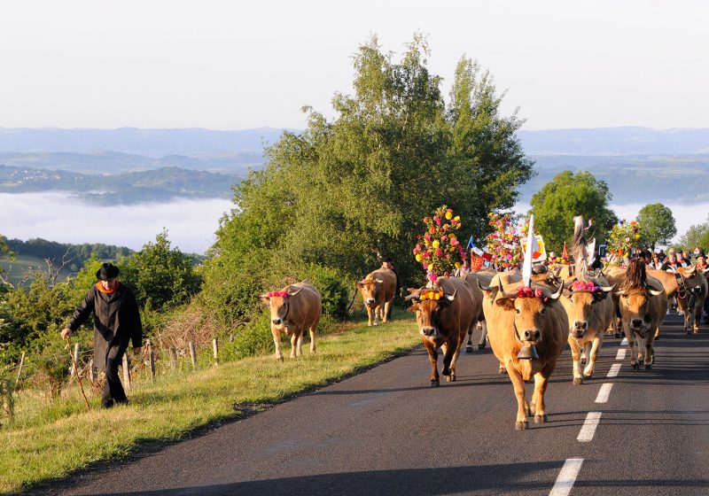
La transhumance en Aubrac
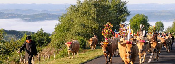
Le rendez-vous est donné chaque année aux alentours du 25 mai : les éleveurs montent leurs troupeaux en estive et les visiteurs les accompagnent. Cela donne lieu à une journée festive, haute en couleurs et en musique, qui célèbre l’arrivée des beaux jours et la liberté de nos belles vaches ! La transhumance : une...
Vous allez aimer...
#Tourismeenaubrac
Le mur instagram est en cours de chargement...
